Preserving Local Character and Landscapes
The landscapes around the Chesapeake Bay watershed are economically, ecologically, culturally and recreationally valuable. Conserving these landscapes protects access to green spaces and healthy waterways, protecting your community’s values and quality of life. This module provides foundational information, resources and case studies to support your land use decision-making.
Preview presentation and download files
Downloads
Presentations and Fact Sheets
Presentation Assets
Video for Preserving Local Character and Landscapes
In this topic you will learn
-
How do land use planning and conservation strategies support my community?
-
What tools can I use to understand land use changes in my community?
-
Where can I find more resources to help my community plan for the future?
Downloads
Presentations and Fact Sheets
Presentation Assets
Highlights
Education
Studies show a correlation between the amount of trees near a school and the academic performance and wellness of students. Student access to trees and natural landscapes also provides opportunities for hands-on environmental education.
Economic Development
Farms are an essential source of income, and create jobs that support local economies. Many farms organize agritourism activities, such as festivals, farm and vineyard tours, corn mazes and more. In 2015, agritourism stimulated $2.2 billion in economic activity in Virginia alone.
Public Health and Safety
Trees improve community health by cleaning the air we breathe and the water we drink. They also mitigate the effects of urban heat islands, and lower stress and crime rates.
Infrastructure Maintenance and Finance
Forests absorb and slow runoff, decreasing the risk of flood damage. Forest buffers also filter out excess nitrogen at half the cost ($3.10 per pound) of wastewater treatment plants ($8.56 per pound).
Case Studies You'll Find Inside
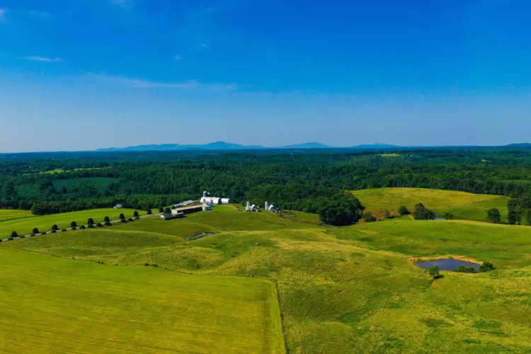
Misty Meadow Farm
Weyers Cave, VirginiaPreserving Farmland for Future Generations
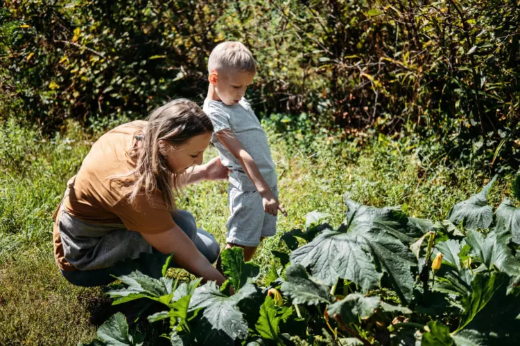
In 1974, Robert and Linda Clements bought Misty Meadow Farm. In 2010, they established a conservation easement on their property to preserve their farm and protect their investment for future generations.
Baltimore County
Baltimore County, MarylandExpanding Access to Open Space
NeighborSpace works with communities within the Urban-Rural Demarcation Line to improve access to open space. Their work reduces runoff, protects streams and increases recreational opportunities. They have conserved 99 acres across 21 sites, including historical heritage, forest trails, gardens and pocket parks.
Binghamton
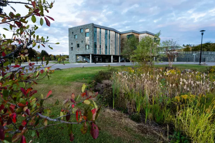
Binghamton, New YorkWetlands Catch Flood Water
After record-breaking floods in 2005 and 2011 caused $675 million in property damage, Binghamton set its sights on building back stronger and more resilient. One of over 170 flood mitigation projects—funded through federal agencies, municipalities, school districts, and community development block grants—involved building a wetland at a highway interchange to catch and absorb flood water.
Happy Hollow Farm
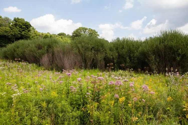
York County, PennsylvaniaForest Buffer Includes Food-producing Plants
Don and Ann English planted four acres of forest buffers on their farm. They included trees to filter and absorb stormwater, as well as plants that produce nuts, berries, honey and syrup, which they hope will serve as a future source of revenue. The Pennsylvania Department of Conservation and Natural Resources has a grant program to support multifunctional buffers like the Englishes’.
Binford Middle School
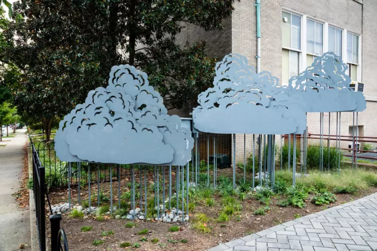
Richmond, VirginiaSchoolyard Retrofit Reduces Stormwater Runoff
A schoolyard retrofit project at Binford Middle School uses several methods to reduce stormwater runoff, including a rain garden with a collaboratively designed rain harvesting sculpture. The project was funded with a $200,000 grant from the U.S. Environmental Protection Agency’s Small Watershed Grants Program. It provided hands-on learning for the students who helped plan and execute it.
Here's How You Can Help
Learn More About This Topic
Access information about the policy tools you can use to slow the conversion of forests, farms and wetlands.
Learn how to plan for and protect agricultural lands.
Learn about the Chesapeake Bay Program’s population growth projections.
Explore high-resolution land use and land cover data, and track changes over time.

